Knowledge and information are the cornerstone of effective governance. The PGS team extensively uses Geographic Information Systems (GIS) to inform our decisions, enhance workflows, and serve our communities.
GIS & Mapping Services
We strive to serve our communities by creating, enhancing, and sharing data. Whether it’s creating maps, building web applications, or finding the data needed to make smart decisions for your community, our team is available to assist you. If you would like to learn more about the services we provide, please contact Phillip Jones, GIS Manager.
Data Requests
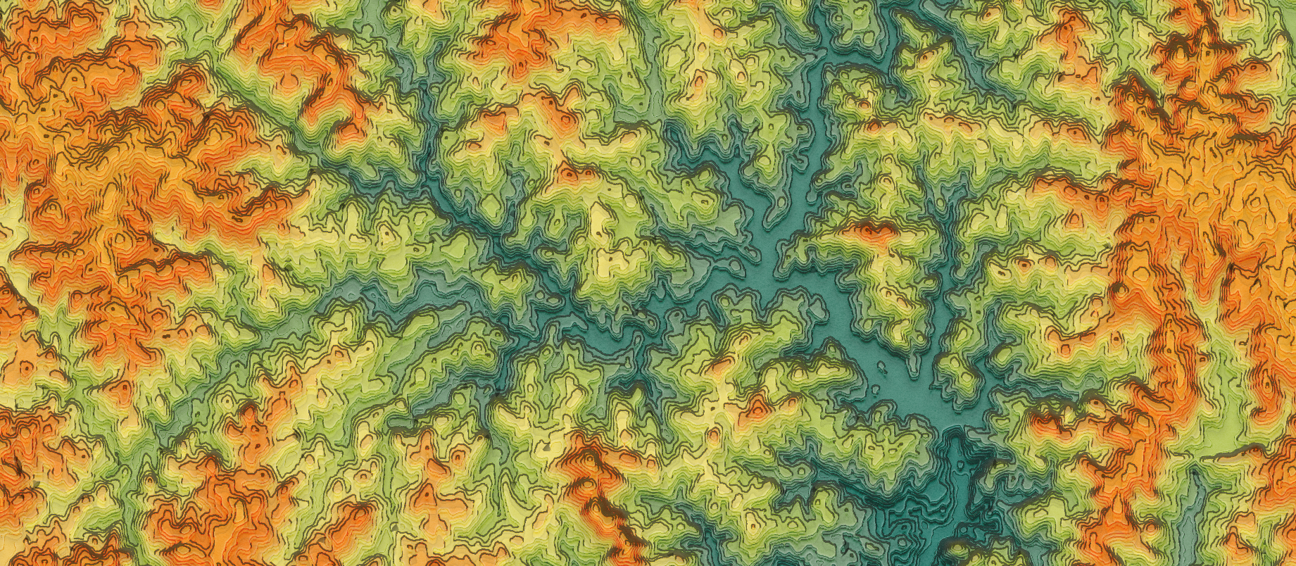
Do you need a specific dataset but don’t know where to look? We may know where to find it, or we may have a copy ready to share with you. We specialize in data related to planning, transportation, historic preservation, economic development, elevation, and more.
Map Creation
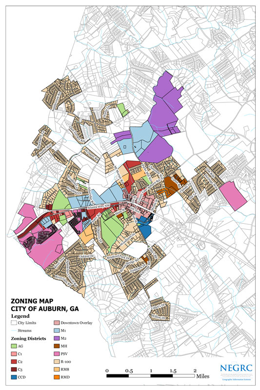
Need a printed map for display or a public event? We can create, print, and deliver maps for your needs. Common maps we create are zoning, future land use, redistricting, and infrastructure maps.
Data Creation and Management
Do you have data that needs to be cleaned and enhanced, or are you working with printed maps or spreadsheets? Our team can digitize your data or maps so that they can be easily modified and viewed online.
Website Design
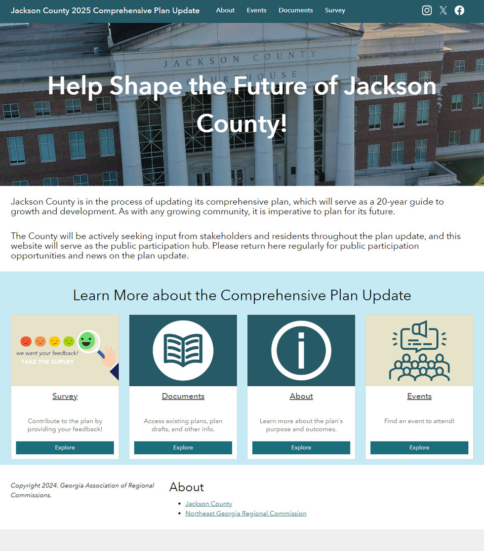
Do you need a basic web page for a community initiative or project, or does your community need a new website? Our team can create simple webpages using ArcGIS StoryMaps or entire websites using ArcGIS Hub.
Web Application Development
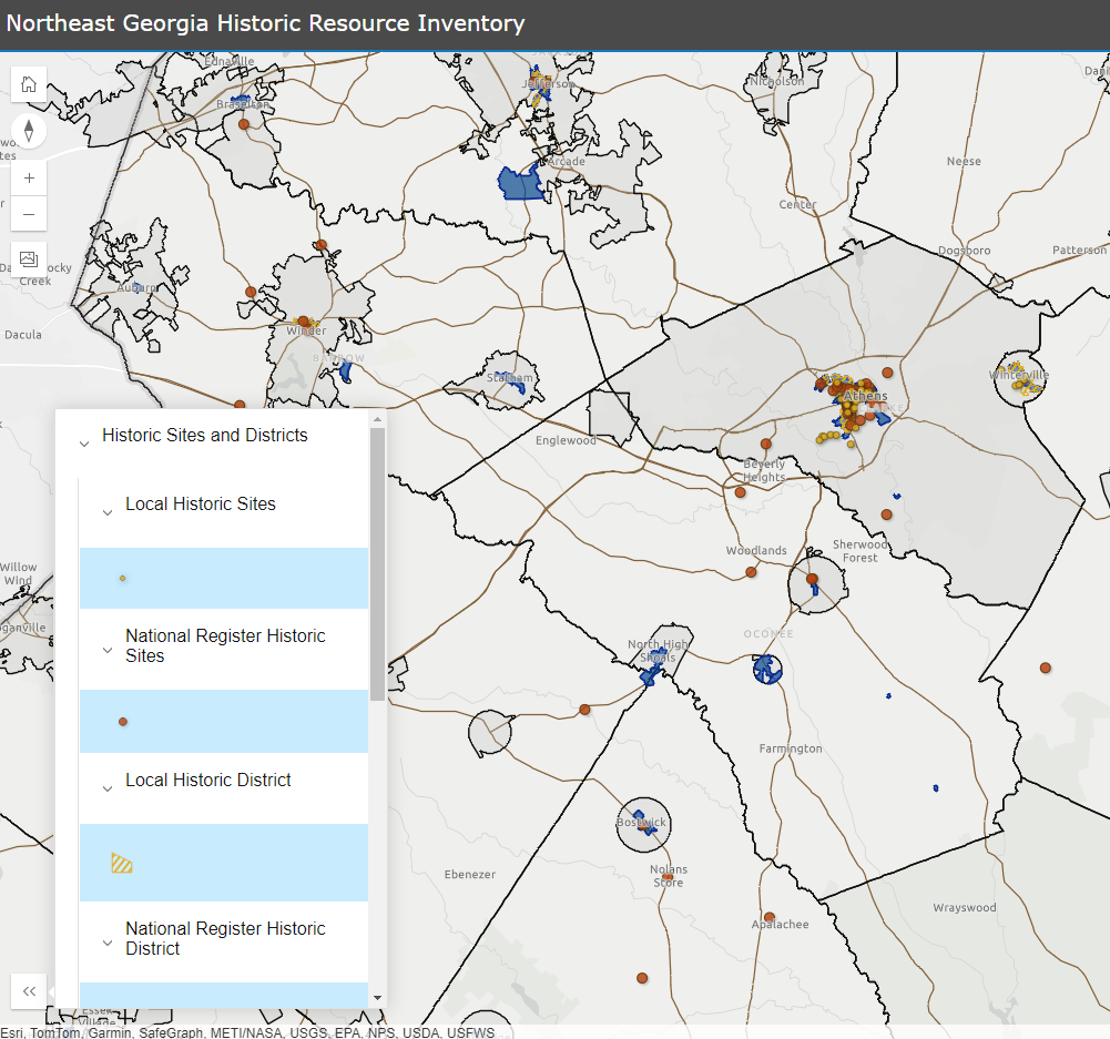
Our team can create dashboards, interactive maps, and more for your project management or data visualization needs.
Census
We offer ongoing assistance with the Census Bureau’s Annual Boundary & Annexation Survey (BAS) at no charge to our local governments.
Annexation/Deannexation Reporting
Under Georgia House Bill 1385, all local goverments are required to submit a digital GIS file of annexed/deannexed parcels to the Department of Community Affairs (DCA) and the Office of Legislative and Congressional Reapportionment. We can provide assistance in creating the necessary GIS file, free of charge.
To request assistance, please visit this page and fill out the survey.
Featured Content
Please see below for some of our featured web applications. You can also view the gallery here.
Do you have a great idea for a web application that would benefit the region? Feel free to reach out to us to discuss it!
Feature Examples
We regularly create maps and web applications for our local governments. Please see below for examples, If you are interested in us assisting you, please contact us!
Map Creation
The NEGRC GIS team can create print or electronic maps to fulfill your local government’s needs.
Web Pages
Our team can create web pages for a community initiative or a basic website for your local government.

